Umbrellas for the Commute, Sunglasses for the Afternoon: Today's Louisville Forecast
A Day of Two Halves in the Derby City
Louisville residents waking up this Thursday, February 26, 2026, should prepare for a significant shift in conditions as the day progresses. The morning hours are characterized by damp conditions and lingering clouds, but the local outlook suggests a much brighter and milder second half of the day. As we move through the tail end of February, the Ohio Valley is seeing a bit of a tug-of-war between late-winter chill and early-spring warmth.
Morning: Damp and Chilly Start
Early risers and commuters can expect slick roads and misty conditions. Meteorological data indicates a 60% chance of precipitation through the early morning hours, with scattered showers most likely before 9:00 AM. Temperatures will start in the low 40s, hovering around 42°F during the pre-dawn hours and dipping slightly to 39°F by 8:00 AM as the cold front fully transitions. If you are heading out to work or school before 10:00 AM, a waterproof jacket or umbrella is highly recommended.
Afternoon: Clearing Skies and Rising Temps
The good news for outdoor plans is that the rain is expected to exit the region rapidly by mid-morning. By noon, the probability of precipitation drops to near zero, and the cloud cover will begin to break, allowing for periods of bright sunshine. The mercury will climb steadily throughout the afternoon, reaching a pleasant daily high of approximately 56°F by 4:00 PM. Winds will remain relatively light, primarily coming from the north-northeast at about 8 mph, making for a crisp but comfortable atmosphere for a walk in Cherokee Park or along the Waterfront.
Evening and Overnight: A Brisk Cooldown
Once the sun sets, the clear skies will allow for efficient radiational cooling. Temperatures will fall back into the 40s by 8:00 PM and continue to drop toward an overnight low of 32°F. While the day ends on a dry note, the freezing point low means that any standing water from the morning's rain could potentially result in isolated slick spots on secondary roads or bridges by early Friday morning.
Safety Note: Flood Safety Week
In addition to today's specific forecast, the National Weather Service in Louisville reminds residents that we are currently observing Flood Safety Week (February 22-28). While today's scattered showers do not pose an immediate flood threat, the season's variable weather serves as a reminder to never drive through flooded roadways and to stay weather-aware as we approach the wetter spring months.
- Daily High: 56°F
- Daily Low: 32°F
- Morning Rain Chance: 60% (ending by 10 AM)
- Afternoon Skies: Mostly Sunny
- Wind: NNE at 8 mph
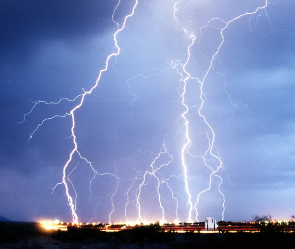
Louisville weekend forecast: thunderstorms likely Saturday, then cooler and sunnier conditions arrive Sunday

Louisville Metro Council Committees Convene for Key Policy and Infrastructure Sessions
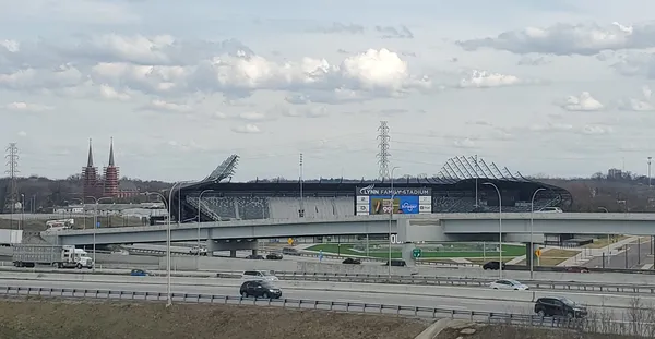
Morning Briefing: Highlands Growth, Major Crime Busts, and the Countdown to Soccer Season