Keep the Poncho Handy: Isolated Thundershowers Arrive for Severe Weather Awareness Week
A Warm but Cloud-Heavy Tuesday
Louisville residents can expect a noticeable shift in the atmosphere this Tuesday, March 3, 2026. As the city shakes off the last vestiges of winter, today brings a preview of spring’s volatility. Lead editors at louisville.news are tracking a combination of overcast skies and rising temperatures that will dominate the local landscape. While the day starts off quietly, the arrival of isolated thundershowers by the afternoon makes it a day to keep the umbrella close at hand.
Detailed Daily Forecast
The weather today follows a steady climb in temperature, though the sun will likely remain hidden behind a thick layer of clouds. Here is the breakdown for the morning, afternoon, and evening hours:
- Morning: The day begins with heavy overcast conditions and temperatures hovering in the mid-40s to low 50s. Visibility may be slightly reduced due to the dense cloud cover, though major fog is not anticipated.
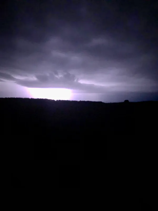
- Afternoon: Temperatures are expected to peak at a comfortable high of 65°F. During these peak hours, the probability of precipitation rises to approximately 61%. Isolated thunderstorms are predicted to develop throughout the metro area, potentially dropping up to 0.27 inches of rain in some neighborhoods.
- Evening and Night: As the sun sets around 6:38 PM, the chance for rain persists before tapering off late. The mercury will take a sharp dip, with an overnight low of 39°F expected. Residents should prepare for a much chillier night compared to the mild afternoon.
Wind and Atmospheric Conditions
Winds will remain relatively light but steady, averaging around 9 mph coming from the south. While these are not high-velocity winds, they are helping to usher in the moisture-rich air responsible for today's isolated storm cells. The humidity is expected to sit near 69%, adding a damp feel to the 65-degree high.
Safety Spotlight: Severe Weather Awareness Week
Today's damp forecast coincides with the National Weather Service’s designation of March 1–7, 2026, as Severe Weather Awareness Week in Kentucky. While no official severe weather warnings are currently in effect for Tuesday, the NWS Louisville office has noted that an active and increasingly wet weather pattern is emerging. Multiple waves of low pressure are expected to move through the region later this week, bringing a marginal threat for stronger storms on Wednesday and Thursday. Local officials encourage all residents to use today’s overcast conditions as a reminder to review their emergency plans and ensure they have multiple ways to receive weather alerts.

Chilly Rain and Breezy Skies: Grab the Umbrella, Louisville

Louisville expands multi-agency enforcement plan to identify repeat gun offenders linked to violent crime patterns

Yonutz Fantastical Donuts and Ice Cream plans second Louisville shop in the Highlands neighborhood