Wintry Mix and Frigid Air: Navigating Today’s Snowy Commute
Wintry Mix and Frigid Air: Navigating Today’s Snowy Commute
Louisville residents should prepare for a significant drop in temperature and the arrival of winter precipitation this Wednesday, February 4, 2026. Following a period of fluctuating winter weather throughout the early part of the week, today marks a definitive return to freezing conditions that will require extra attention from motorists and pedestrians alike.
Morning: A Frigid Start
The morning hours will be defined by a bitter chill as the city wakes up to temperatures in the low teens. At approximately 7:00 AM, the temperature is forecast to be a sharp 14°F. Under mostly cloudy skies, the wind chill will make it feel significantly colder as northerly winds begin to pick up. Residents are encouraged to dress in multiple layers and ensure that pets are protected from the elements, as the sub-freezing start poses a real risk for exposure during the early school and work commutes.
Afternoon: Persistent Clouds and Colder Peaks
As we move into the afternoon, the mercury will struggle to climb, eventually reaching a projected high of only 30°F. This is notably below the historical average for early February, keeping the city firmly in winter's grip. The cloud cover will remain dense throughout the midday hours, with a slight chance of isolated flurries beginning as early as 1:00 PM. While the air remains relatively dry for the first half of the day, atmospheric moisture will steadily increase as a weather system moves into the Ohio Valley, setting the stage for a messy evening.
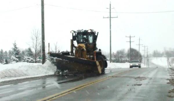
Evening: Snow Showers and Travel Alerts
The primary concern for today’s forecast lies in the evening hours. Meteorologists are anticipating light snow showers to develop during the late afternoon and peak during the evening commute. Key weather details for the back half of the day include:
- Timing: Snow showers and a potential wintry mix are most likely between 4:00 PM and 9:00 PM.
- Accumulation: Forecasts suggest a light dusting of approximately 0.12 to 0.24 inches of snow across the metro area.
- Wind: Sustained winds from the North at 11 MPH will continue through the night, contributing to low visibility during bursts of snow.
- Hazardous Conditions: A Special Weather Statement has been issued regarding the potential for a light glaze of ice and slick spots on major roadways, including the I-64 corridor.
Looking Ahead
As the sun sets, the temperature will drop back toward a low of 13°F overnight. While the precipitation is expected to taper off before midnight, the deep freeze means any moisture remaining on the roads will likely turn into black ice. Drivers should remain vigilant for hidden slick spots during the Thursday morning commute. Residents are advised to monitor local updates as this system moves through the region.