Snowed In: Louisville Braces for Historic 'Winter Storm Fern' Impacts
State of Emergency as Winter Storm Fern Hits Louisville
Louisville and the surrounding Kentuckiana region are under a serious weather threat today, Saturday, January 24, 2026. Governor Andy Beshear has declared a statewide State of Emergency in anticipation of Winter Storm Fern, a massive system expected to bring significant snow and ice accumulations. With the National Weather Service issuing a Winter Storm Warning from 7:00 AM this morning through 7:00 AM Monday, residents are urged to finalize their preparations and stay off the roads as conditions deteriorate rapidly throughout the day.
Morning: Bitter Cold and Increasing Clouds
The morning hours will be defined by dangerously low temperatures. A Cold Weather Advisory remains in effect until noon today, as wind chill values are expected to dip as low as -10°F. While the city may start with relatively clear skies, cloud cover will increase steadily as the storm system approaches from the southwest. Early morning temperatures will hover around 10°F, making any outdoor activity hazardous without proper layering and protection against hypothermia.
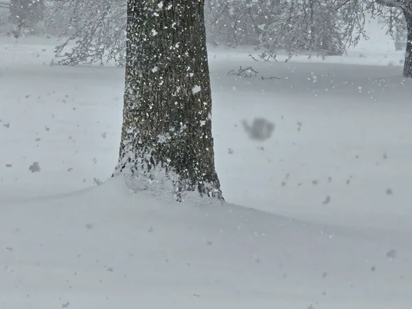
Afternoon: Snowfall Begins to Accumulate
The transition to active precipitation is expected to occur in the early afternoon, with snow likely starting after 2:00 PM. Forecasters predict a high temperature of only 17°F for the day. As the cold air meets moisture moving up from the Tennessee Valley, snow will begin to coat the city. Initial accumulations of 1 to 3 inches are possible by late afternoon, leading to slippery road conditions and reduced visibility for anyone traveling during the second half of the day.
Evening: Heavy Snow and Transit Shutdowns
Conditions are expected to worsen significantly after sunset. Heavy snow is predicted for Saturday evening and night, with a 100% chance of precipitation. Overnight lows will settle around 15°F, and wind chills will remain in the single digits. Due to the projected severity of the storm, the Transit Authority of Northern Kentucky (TANK) has already announced a suspension of all services starting at 10:00 PM tonight. Local officials warn that roads may become impassable, and the weight of snow combined with potential ice could lead to power outages and downed trees throughout the metro area.
Current Alerts and Safety Advisories
- Winter Storm Warning: In effect from 7:00 AM today until Monday at 7:00 AM.
- Cold Weather Advisory: Active until noon today due to extreme wind chills.
- State of Emergency: Declared by the Governor to activate the National Guard and emergency resources.
- Travel Impact: Residents are advised to avoid non-essential travel as visibility will be greatly decreased and road conditions will be treacherous.