Morning Slush and Slick Commutes: Winter Advisory Grips Louisville
Winter’s Bite: A Messy Wednesday Morning for the Metro Area
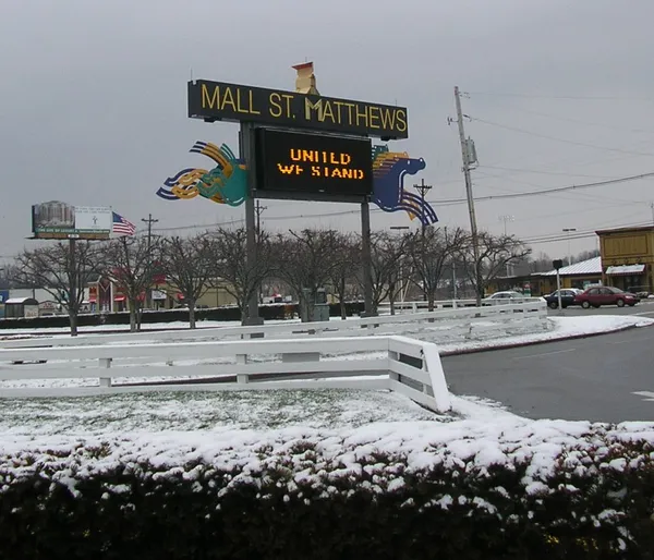
Louisville residents are facing a challenging mid-week commute as a Winter Weather Advisory remains in effect for Jefferson County and the surrounding Ohio Valley until 12:00 PM today, Wednesday, January 21, 2026. The morning began with a wintry mix of light snow and sleet, which has left a thin, treacherous glaze on area bridges and overpasses. While total snow accumulation is expected to remain under one inch, the combination of moisture and freezing temperatures has created hazardous travel conditions across the city.
As of 9:00 AM, temperatures are hovering around 30°F. Local officials are urging drivers to exercise extreme caution on the Watterson Expressway and I-65, where slick spots have already been reported. The National Weather Service warns that even a light glaze of ice can lead to significant accidents, so maintaining a safe following distance is critical for those heading into the office or dropping children off at school.
By the early afternoon, the wintry precipitation is expected to transition into a cold drizzle or light rain as the temperature climbs toward a high of 39°F. However, the relief from the cold will be minimal. A steady breeze from the South-Southwest at 10 to 15 mph will keep wind chill values in the upper 20s and low 30s throughout the day. Residents should expect gray, overcast skies to persist through the late afternoon, with very little chance of seeing the sun break through the cloud deck.
As we move into the evening hours, the moisture will begin to move out of the region, leaving behind damp roads that could re-freeze as the sun sets at 5:53 PM. Here is a quick breakdown of today's predicted conditions:
- Morning: Winter Weather Advisory until noon. Light snow and sleet with temperatures near 30°F.
- Afternoon: High of 39°F. Mostly cloudy and breezy with occasional light rain.
- Evening: Temperatures cooling into the mid-30s. Clouds lingering but precipitation tapering off.
- Overnight: Partly cloudy and cold with a low of 26°F. Watch for patchy black ice on untreated surfaces.
Looking ahead, the city will see a slight drying trend tomorrow, though temperatures will remain firmly in the winter range. For today, keep the heavy coats and ice scrapers ready, and stay updated on local traffic reports as the morning advisory continues.