Grab the Umbrella: Steady Showers and Mild Temperatures Expected for Sunday in Louisville
Wet Weather Takes Hold of the Ohio Valley
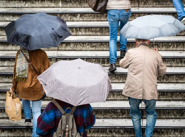
Residents of Louisville should prepare for a soggy finish to the weekend as a significant storm system moves through the region. Today, Sunday, February 15, 2026, the forecast calls for a high probability of rain throughout the morning and early afternoon hours. While the temperatures will remain relatively mild for mid-February, the persistent moisture will make for a damp day across the metro area. If you are planning to head out to church services, local brunch spots, or are simply running errands, you will definitely want to keep your rain gear and umbrellas within reach.
Morning Forecast: A Damp Start
The rain is expected to be most intense during the early morning hours. Data indicates that precipitation chances are near 100% as the sun rises at 7:34 AM. Temperatures will start in the low 40s, with a steady climb toward the daily high. Visibility may be reduced during periods of heavier rainfall, and drivers are encouraged to exercise caution on major thoroughfares like I-64 and I-65, where slick spots and ponding on the roads are likely. Expect a morning temperature range of 43°F to 47°F with overcast skies and light easterly winds.
Afternoon and Evening: Showers Tapering Off
As we move into the afternoon, the mercury is expected to peak at approximately 54°F. While the rain will continue to fall through the midday hours, local meteorological models suggest that the showers will begin to taper off late in the day. By the time the sun sets at 6:20 PM, the heaviest of the precipitation should have moved east of Jefferson County, leaving behind damp pavement and cooling air. The evening will see a significant drop in temperature, eventually bottoming out at a low of 33°F to 34°F overnight.
Wind and Travel Alerts
While the most severe weather associated with this storm system—including potential damaging wind gusts and isolated tornadoes—is expected to stay further south in the Gulf Coast and Southeast regions, Louisville will still experience breezy conditions. Wind gusts could occasionally reach up to 15-20 mph, which may make driving high-profile vehicles more difficult. No formal flood warnings are currently in effect for the city, but the accumulation of nearly a tenth of an inch of rain may cause temporary drainage issues in low-lying areas.
- Morning: Heavy rain likely, temperatures near 45°F.
- Afternoon: High of 54°F with scattered showers.
- Evening: Rain ending late, clearing skies with a low of 34°F.
- Sunrise: 7:34 AM | Sunset: 6:20 PM