Bitter Chill and Flurries: Louisville Braces for a Frigid Saturday
A Frigid Start: Morning Advisory in Effect
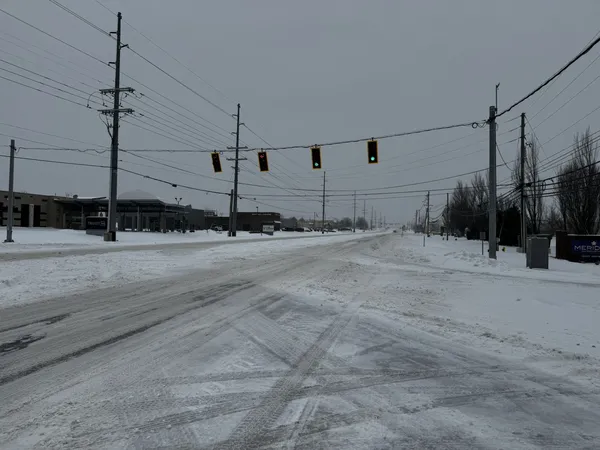
Louisville residents waking up this Saturday, January 31, 2026, are facing some of the harshest winter conditions of the season. A Cold Weather Advisory is officially in effect for the metro area and surrounding counties until 1:00 PM EST. Early morning temperatures have plummeted into the single digits, with the mercury hovering around 7°F as the sun rises. However, the real story is the wind chill; with steady breezes from the north-northwest at approximately 7 mph, the 'feels like' temperature is hitting dangerous levels as low as 12 degrees below zero.
Visibility remains clear at around 10 miles, but the air is exceptionally dry with a dew point near 2°F. For those heading out for early morning errands or work, the National Weather Service and local officials urge extreme caution. Frostbite and hypothermia are significant risks in these conditions if proper precautions are not taken. Experts recommend dressing in several layers of loose-fitting, lightweight, warm clothing rather than one layer of heavy clothing.
Afternoon Outlook: Overcast Skies and Stubborn Lows
As we move into the afternoon hours, the sun will remain largely hidden behind a thick layer of overcast clouds. While the morning's Cold Weather Advisory will expire at 1:00 PM, don't expect a rapid warmup. The high temperature for the day is projected to reach only 23°F, keeping the city well below the freezing mark. Winds will persist from the north-northwest, occasionally gusting up to 15 mph, which will keep the afternoon wind chill in the single digits.
Humidity levels will fluctuate near 60% throughout the day, contributing to a damp, biting cold that permeates even heavy winter gear. No significant accumulation of snow is expected during the daylight hours, though a few stray flurries may be seen dancing across the skyline as the atmospheric pressure holds steady near 30.30 inHg. It is a perfect day for indoor activities, as the local environment remains hostile to extended outdoor exposure.
Evening and Overnight: Snow Potential and Plummeting Temps
As evening approaches and the sun sets shortly after 6:00 PM, temperatures will once again begin a sharp descent. By 8:00 PM, we expect the thermometer to read approximately 21°F, but the overnight low is forecasted to bottom out at a bone-chilling 5°F. There is a 38% chance of light snow developing late in the evening and into the early morning hours of Sunday. While accumulation is expected to be under an inch, the frozen ground will ensure that any moisture turns immediately to ice on walkways and side streets.
Local authorities remind residents to keep pets indoors as much as possible and to check on elderly neighbors. Ensure that portable heaters are used correctly and never left unattended. As the city settles into this deep freeze, the primary goal for all Louisvillians should be staying warm and staying safe until the mercury begins its slow climb later next week.