Arctic Grip Tightens: Life-Threatening Cold and Snow Flurries Arrive in Louisville
Arctic Grip Tightens: Life-Threatening Cold and Snow Flurries Arrive in Louisville
Residents of Louisville are waking up to some of the harshest winter conditions of the season this Thursday, January 29, 2026. A powerful arctic front has firmly established itself over the Ohio Valley, bringing with it a combination of piercing cold temperatures and the threat of light frozen precipitation. Local meteorologists are warning that this is not just a typical winter day; the current pattern is being described as life-threatening due to the extreme wind chills expected throughout the region as a brutal cold wave rolls through the Commonwealth.
Morning: A Frigid Start with Freezing Fog
The morning commute is expected to be particularly treacherous across the metro area. Temperatures are starting the day in the single digits, with some outlying areas potentially seeing readings near or slightly below zero. Adding to the danger is the presence of freezing fog, which can create a thin, nearly invisible layer of ice on bridges and overpasses. Visibility may also be reduced during the early hours, so drivers are urged to slow down and allow for extra travel time on major arteries like I-64 and I-65.
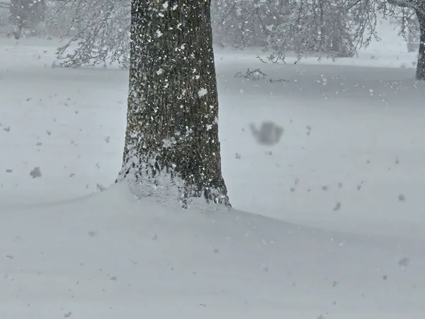
Afternoon: Chilly Highs and the Arrival of Flurries
As we move into the afternoon, don't expect much relief from the sun. While the official high for Louisville is projected to reach approximately 23°F to 25°F, the actual feel will be significantly lower. A "light snow maker" or clipper system is forecast to move through the area, bringing scattered snow flurries and light accumulations. While major snowfall is not expected today, the dry, powdery nature of the snow combined with steady winds could lead to localized visibility issues and slick pavement during the peak travel hours.
- High Temperature: 25°F
- Low Temperature: Between 4°F and -5°F
- Wind Chill: Potential to reach -20°F in exposed areas
- Precipitation: Light snow flurries and freezing fog
Evening and Overnight: The Deep Freeze Intensifies
Once the sun sets, temperatures will plummet rapidly. The overnight lows are expected to drop back into the single digits, and in some areas, negative numbers are a distinct possibility. Wind chills will remain a primary concern, potentially dipping as low as -20°F. This level of cold can cause frostbite on exposed skin in as little as 30 minutes. Officials are advising residents to limit time outdoors and to ensure that pets are brought inside as this arctic air hangs tough through the end of the week.
Safety Warnings and Precautions
The National Weather Service and local authorities have highlighted several key concerns for today:
- Life-Threatening Cold: Dress in multiple layers of loose-fitting, lightweight, warm clothing. Always wear a hat and mittens when venturing outside.
- Travel Hazards: Watch for slick spots caused by freezing fog and light snow flurries that may impact the evening commute.
- Pet Safety: If it is too cold for you, it is too cold for your pets. Ensure all animals have adequate warm shelter and are brought indoors.
Stay tuned to local updates as this arctic air mass is expected to linger, with even more significant winter weather possibly lurking for the upcoming weekend.